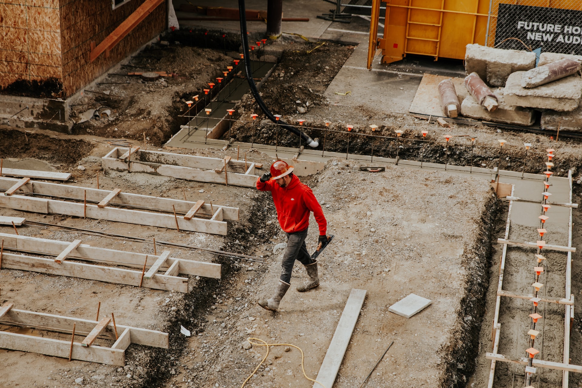
Make better decisions for foundation design, construction, and structure monitoring
With Cordillera Geo-Services, explore the surface and subsurface from a geological and geophysical perspective. Observe Young’s, shear, and bulk moduli in 2D, or drill boreholes in the right places, so you don’t spend more.
Dr. Hector Hinojosa is part of and collaborates with:


Understand the soil’s properties with expertise
Geophysical data that isn’t interpreted or optimized for geotechnical and civil engineering delays your project, and you also have to spend more to get the values you need for construction purposes.
At Cordillera Geo-Services, our specialty is exploring the surface and below, analyzing the raw data, and making the interpretations you need to make the calculations and modeling to make the right decisions.
Have you ever seen Poisson’s ratio in terms of depth and distance? We can give you that. Do you need blow counts? We can generate the N value of a specific area in 2D too. We provide all moduli in easy-to-interpret tomographies that reveal more than depth graphs.
Design safer and effective foundations, structures, and infrastructure through reliable data delivered in rich tomographies, robust reports, and thorough assessments.
1. REVIEW OF EXISTING GEOPHYSICAL STUDIES
Make better decisions considering previous explorations.
With Cordillera Geo Services, you can be sure the interpretation of the data will be based not just on current findings but also on studies made before to get better clues of what lies below the surface.
2. SURVEY DESIGN
Pick the right exploration method to get reliable data.
After reviewing existing studies, with the help of Cordillera Geo-Services, you can determine what to look for, the Geophysical Exploration Method needed, and how to survey to collect the data required to validate drilling, make informed decisions, begin foundation design, and mitigate risks.
3. FIELD GEOPHYSICAL EXPLORATION
Get a better picture of what lies below the surface.
Conducting the survey itself requires great care. With Cordillera Geo on your team, you can be sure the setup will be precise. We will consider all noise sources so that when you gather data, you get quality assessments instead of inefficient data.
4. ACCURATE DATA GENERATION
Work with state-of-the-art measuring equipment.
Dr. Hector Hinojosa will make sure the necessary instruments and the right software are in place to generate the data needed to produce 2D or 3D models of the different moduli, dimensions of buried bodies, distance to bedrock or groundwater, or the geological hazards that may lie underground.
5. DUAL INTERPRETATION OF DATA
Explore the surface and subsurface from different angles.
Not only does Dr. Hector Hinojosa evaluate existing studies and the data generated from a Geophysical point of view, but he also adds his Geological perspective to the interpretation. This improvement reduces uncertainty and helps you make the right decisions to reduce costs and improve safety.
Applications:
Engineering problems
- Drainage tiles mapping
- Clandestine tunnel detection
- Subsurface Utility Engineering (SUE) applications:
- Locating water lines
- Metallic and non-metallic utility mapping
- Construction applications:
- Location of buried foundations and basements
- Void detection
- Locating beams
- Bridge deck surveys
- Floor surveys
- Concrete applications:
- Concrete slab scanning and imaging
- Measure slab thickness
- Find rebar, post-tension cables, conduits, and non-metallic objects
- Void detection
- Clearing of boring locations
Geological problems
- Caves, voids, and sinkhole detection
- Subsidence, cavity, and karst mapping
- Bedrock profiling
- Shallow geological mapping
- Locating fractures, faults, and other shallow subsurface structures
Identify geological hazards, reduce risk, plan better, and improve safety.
“Cordillera Geo discovered voids that could pose a problem in our construction. They were extremely professional throughout the project and explained in detail their planned efforts in advance, we discussed and agreed on the scope of the project, and they worked diligently to complete the work in a timely manner, providing a very professional and detailed survey report upon completion. The results were excellent and well received by our General Contractor.”
– MIKE CARDOZA, Engineer and home owner.
We aim to support you and your team so that you can make practical geotechnical calculations and modeling without delays.
We aim to support you and your team so that you can make practical geotechnical calculations and modeling without delays.
When you run a survey with us, you will be able to:
- Identify potential geological and geotechnical hazards so you can recommend appropriate measures to mitigate the risks and meet your project’s required standards and regulations.
- Locate groundwater to determine the potential for soil liquefaction, seepage, and erosion.
- Understand soil and rock properties to design foundations that can withstand expected loads.
- Assess the potential impact of construction on soil and determine the best practices for minimizing environmental damage.
- Monitor the performance of structures to detect changes in subsurface conditions and control construction processes.
.
With the right exploration methods and interpretation of data, you eliminate:
- Wrong assumptions of what lies in the subsurface.
- Unnecessary drilling and unplanned expenses.
- Accidents due to poor geological assessment for building infrastructure.
- Delays in the construction project.
- Undetected sources of groundwater, unsuitable soil, or risks in slopes.
What you get from a free consultation with us:
What you get from a free consultation with us:
An initial project assessment.
Suggested geophysical exploration methods.
Determination of deliverables like moduli, tomographies, ratios, N values, and interpretation according to project needs.
Custom roadmap of the exploration, analysis, interpretation, and delivery of results.
Plan delivered to your email within 24 hours.
Professional service in English or Spanish.
Fully licensed and certified.
