Dr. Hector Hinojosa is part of and collaborates with:


Examine a region from both a geological and geophysical perspective
Nowadays, many people claim to do Geophysics. But to do it well, to collect the right data and interpret it correctly, is less common than you may think.
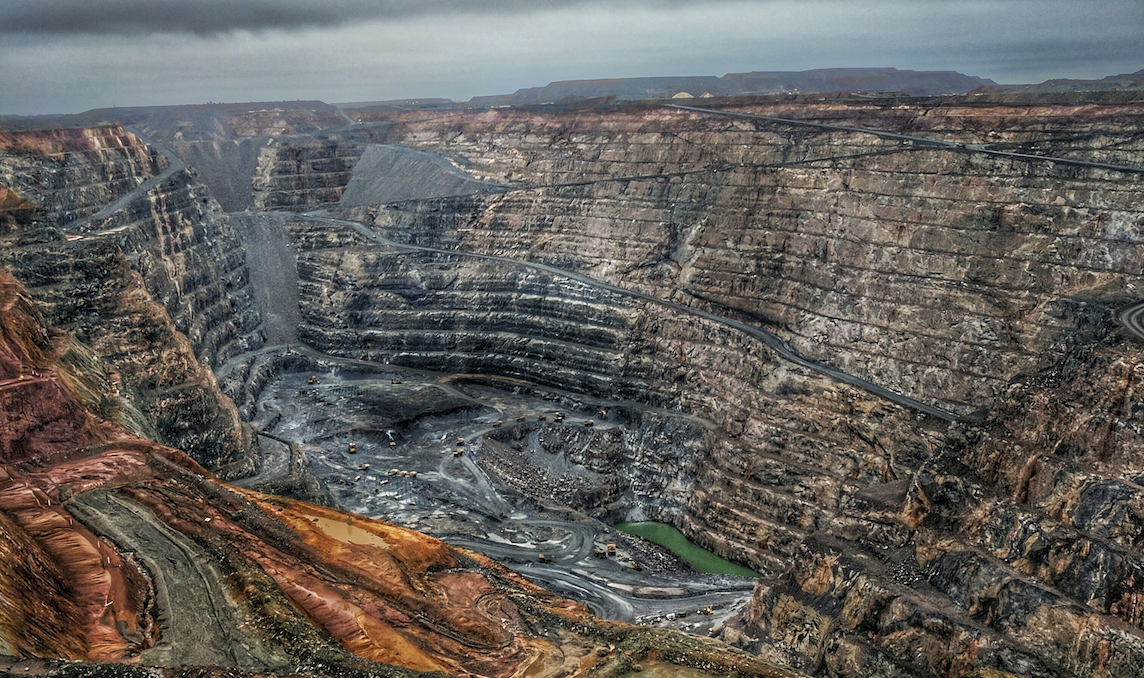
You must be sure that you are exploring above and below ground as efficiently and profitably as possible, primarily if you work in the mining industry.
To validate further drilling, and find ores that justify mining infrastructure, requires the vision of both a geologist and a geophysicist.
You can trust Dr. Hector Hinojosa at Cordillera Geo Services to have both skills.
Use geophysical exploration methods to find valuable minerals and groundwater, detect geological hazards, and generate data for mining infrastructure.
1. REVIEW OF EXISTING GEOPHYSICAL STUDIES
Make better decisions with robust interpretations.
With Cordillera Geo Services, you can be sure the interpretation of the data will be based not just on current findings but also on studies made before to get better clues of what lies below the surface.
2. SURVEY DESIGN
Pick the right exploration method to get reliable data.
After reviewing existing studies, with the help of Cordillera Geo, you will be able to determine what to look for, the Geophysical Exploration Method needed, and how to survey to collect the data needed to validate (or not) drilling, decision-making, and mine planning.
3. FIELD GEOPHYSICAL EXPLORATION
Get a better picture of what lies below the surface.
Conducting the survey itself requires great care. With Cordillera Geo Services on your team, you can be sure the setup will be precise, and all noise sources will be considered so that when you gather data, you get quality assessments.
4. ACCURATE DATA GENERATION
Work with state-of-the-art measuring equipment.
Dr. Hector Hinojosa will make sure the necessary instruments and the software are in place to generate the data needed to create 2D or 3D models of the different ores, dimensions of buried bodies, distance to bedrock or groundwater, or the geological hazards that may lie underground.
5. DUAL INTERPRETATION OF DATA
Explore the surface and subsurface from different angles.
Not only does Dr. Hector Hinojosa evaluate existing studies and the data generated from a geophysical point of view, but he also adds his geological perspective. As a result, you get an interpretation of data with less uncertainty to make better decisions that reduce costs and advance your exploration project.
Applications
- Exploration
- Mineral resource mapping
- Precious and base metals
- Aggregate minerals
- Geological structural mapping
- Geological and Geophysical interpretation
- Operations
- Heap leach characterization
- In-situ leaching
- Mine safety
- Rock quality mapping
- Environmental and Reclamation:
- Acid rock drainage mapping
- Contaminant source identification
- Abandoned mine land mapping
Identify geological hazards, reduce risk, plan better, and improve safety.
“Cordillera Geo discovered voids that could pose a problem in our construction. They were extremely professional throughout the project and explained in detail their planned efforts in advance, we discussed and agreed on the scope of the project, and they worked diligently to complete the work in a timely manner, providing a very professional and detailed survey report upon completion. The results were excellent and well received by our General Contractor.”
– MIKE CARDOZA, Engineer and home owner.
With Cordillera Geo, you can forget about supervising every single step of the survey, although you want to be there in case we strike gold.
With Cordillera Geo, you can forget about supervising every single step of the survey, although you want to be there in case we strike gold.
Our goal is to give you the best perspective in each phase of the mining cycle, support your geological modeling and enhance your decision-making processes for mine planning in a timely and low-cost fashion.
So whether you need to do explorations to locate ores, find groundwater for mining infrastructure, detect caves to plan and build better, or continue looking for valuable minerals in nearby areas to make the most of the region, Cordillera Geo will help you explore with the adequate Geophysical Method.
Furthermore, with our geophysical surveys, you can:
- Find other valuable minerals.
- Determine the size of buried ores to maximize the value of mining.
- Identify optimization opportunities in the re-leaching process of the leach pads.
And with the proper exploration methods and interpretation of data, you eliminate:
- Risky assumptions of what lies in the subsurface.
- Unnecessary drilling and unplanned expenses.
- Accidents due to poor geological assessment to build infrastructure.
- Delays in the mining cycle.
- Undetected sources of pollution when you reach the mine closure stage.
What you get from a free consultation with us:
What you get from a free consultation with us:
An initial project assessment.
Suggested geophysical exploration methods.
Determination of deliverables like tomographies in 2D or 3D, and interpretation of data according to project needs.
Custom roadmap of the exploration, analysis, interpretation, and delivery of results.
Plan delivered to your email within 24 hours.
Professional service in English or Spanish.
Fully licensed and certified.
